Firs Road, Ashton upon Mersey
Introduction
The photograph on this page of Firs Road, Ashton upon Mersey by Derek Harper as part of the Geograph project.
The Geograph project started in 2005 with the aim of publishing, organising and preserving representative images for every square kilometre of Great Britain, Ireland and the Isle of Man.

There are currently over 7.5m images from over 14,400 individuals and you can help contribute to the project by visiting https://www.geograph.org.uk
Firs Road, Ashton upon Mersey
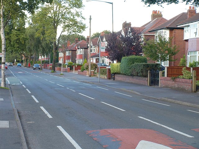
Image: © Derek Harper Taken: 18 Aug 2010
Firs Road cuts across the southeast corner of the square. A little ahead on the left is the first junction with Okehampton Crescent. Further ahead is the scene in Image
Images are licensed for reuse under creativecommons.org/licenses/by-sa/2.0
Image Location
Latitude
53.425455
Longitude
-2.348039