Recreation ground, Manor Avenue, Sale
Introduction
The photograph on this page of Recreation ground, Manor Avenue, Sale by Derek Harper as part of the Geograph project.
The Geograph project started in 2005 with the aim of publishing, organising and preserving representative images for every square kilometre of Great Britain, Ireland and the Isle of Man.

There are currently over 7.5m images from over 14,400 individuals and you can help contribute to the project by visiting https://www.geograph.org.uk
Recreation ground, Manor Avenue, Sale
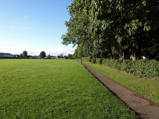
Image: © Derek Harper Taken: 18 Aug 2010
2.87 hectares of playing area. Manor Avenue runs behind the hedge and trees on the right, down a bank.
Images are licensed for reuse under creativecommons.org/licenses/by-sa/2.0
Image Location
Latitude
53.420046
Longitude
-2.353412