Footpath from Sinderland Road
Introduction
The photograph on this page of Footpath from Sinderland Road by Derek Harper as part of the Geograph project.
The Geograph project started in 2005 with the aim of publishing, organising and preserving representative images for every square kilometre of Great Britain, Ireland and the Isle of Man.

There are currently over 7.5m images from over 14,400 individuals and you can help contribute to the project by visiting https://www.geograph.org.uk
Footpath from Sinderland Road
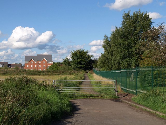
Image: © Derek Harper Taken: 18 Aug 2010
The path runs beside the grounds of Broadheath Primary School (right) and crosses the old CLC railway line to reach new housing on Turnbull Road.
Images are licensed for reuse under creativecommons.org/licenses/by-sa/2.0
Image Location
Latitude
53.404468
Longitude
-2.362458