Former railway line near Broadheath
Introduction
The photograph on this page of Former railway line near Broadheath by Derek Harper as part of the Geograph project.
The Geograph project started in 2005 with the aim of publishing, organising and preserving representative images for every square kilometre of Great Britain, Ireland and the Isle of Man.

There are currently over 7.5m images from over 14,400 individuals and you can help contribute to the project by visiting https://www.geograph.org.uk
Former railway line near Broadheath
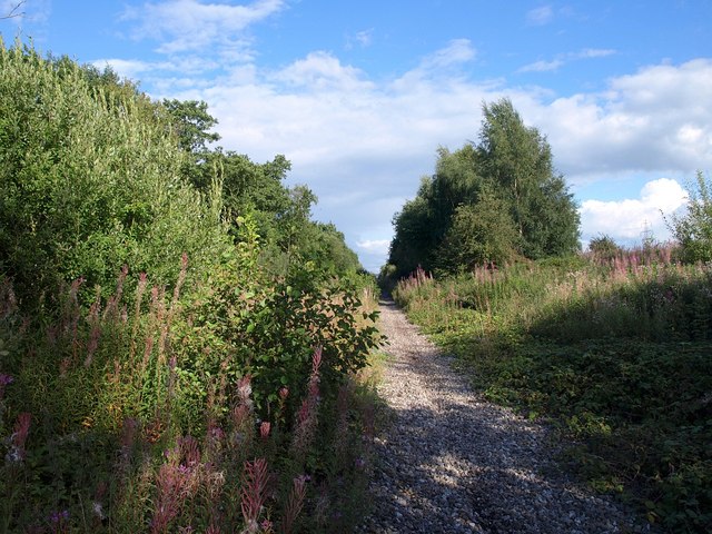
Image: © Derek Harper Taken: 18 Aug 2010
A view along the trackbed of the former Cheshire Lines Committee railway line shown in Image, with rosebay willowherb in bloom.
Images are licensed for reuse under creativecommons.org/licenses/by-sa/2.0
Image Location
Latitude
53.407137
Longitude
-2.371506