Old sewage treatment works, near Queenzieburn
Introduction
The photograph on this page of Old sewage treatment works, near Queenzieburn by Robert Murray as part of the Geograph project.
The Geograph project started in 2005 with the aim of publishing, organising and preserving representative images for every square kilometre of Great Britain, Ireland and the Isle of Man.

There are currently over 7.5m images from over 14,400 individuals and you can help contribute to the project by visiting https://www.geograph.org.uk
Old sewage treatment works, near Queenzieburn
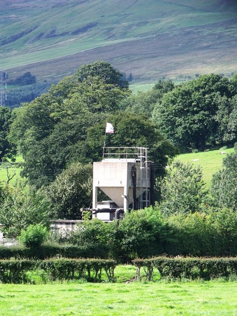
Image: © Robert Murray Taken: 25 Aug 2010
And that's an American Confederate flag flying.
Images are licensed for reuse under creativecommons.org/licenses/by-sa/2.0
Image Location
Latitude
55.966886
Longitude
-4.096333