Riverside Landfill Site
Introduction
The photograph on this page of Riverside Landfill Site by Richard Webb as part of the Geograph project.
The Geograph project started in 2005 with the aim of publishing, organising and preserving representative images for every square kilometre of Great Britain, Ireland and the Isle of Man.

There are currently over 7.5m images from over 14,400 individuals and you can help contribute to the project by visiting https://www.geograph.org.uk
Riverside Landfill Site
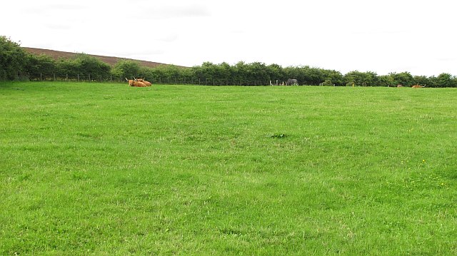
Image: © Richard Webb Taken: 25 Aug 2010
An unnatural looking hill beside the Tay, and it turned out to be a reclaimed bit of tip with Highland cattle. A digger was at work covering up more of the landfill site with topsoil .
Images are licensed for reuse under creativecommons.org/licenses/by-sa/2.0
Image Location
Latitude
56.456684
Longitude
-3.042962