Mottingham Sports Ground and Court Farm Road
Introduction
The photograph on this page of Mottingham Sports Ground and Court Farm Road by Marathon as part of the Geograph project.
The Geograph project started in 2005 with the aim of publishing, organising and preserving representative images for every square kilometre of Great Britain, Ireland and the Isle of Man.

There are currently over 7.5m images from over 14,400 individuals and you can help contribute to the project by visiting https://www.geograph.org.uk
Mottingham Sports Ground and Court Farm Road
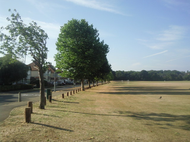
Image: © Marathon Taken: 3 Aug 2010
Court Farm Road runs along the eastern side of Mottingham Sports Ground. This wide open space leads up to Lower Marvels Wood and is crossed by the Green Chain Walk.
Images are licensed for reuse under creativecommons.org/licenses/by-sa/2.0
Image Location
Latitude
51.433897
Longitude
0.041139