Woldringfold
Introduction
The photograph on this page of Woldringfold by Simon Carey as part of the Geograph project.
The Geograph project started in 2005 with the aim of publishing, organising and preserving representative images for every square kilometre of Great Britain, Ireland and the Isle of Man.

There are currently over 7.5m images from over 14,400 individuals and you can help contribute to the project by visiting https://www.geograph.org.uk
Woldringfold
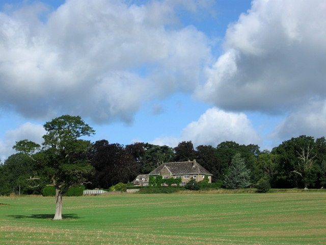
Image: © Simon Carey Taken: 24 Aug 2010
Built in 1881 and modernized in 1960 the house taking over from what became Old Woldringfold as the main seat of the estate.
Images are licensed for reuse under creativecommons.org/licenses/by-sa/2.0
Image Location
Latitude
51.007825
Longitude
-0.278541