Farm by the A171 at Waupley Bridge
Introduction
The photograph on this page of Farm by the A171 at Waupley Bridge by Colin Grice as part of the Geograph project.
The Geograph project started in 2005 with the aim of publishing, organising and preserving representative images for every square kilometre of Great Britain, Ireland and the Isle of Man.

There are currently over 7.5m images from over 14,400 individuals and you can help contribute to the project by visiting https://www.geograph.org.uk
Farm by the A171 at Waupley Bridge
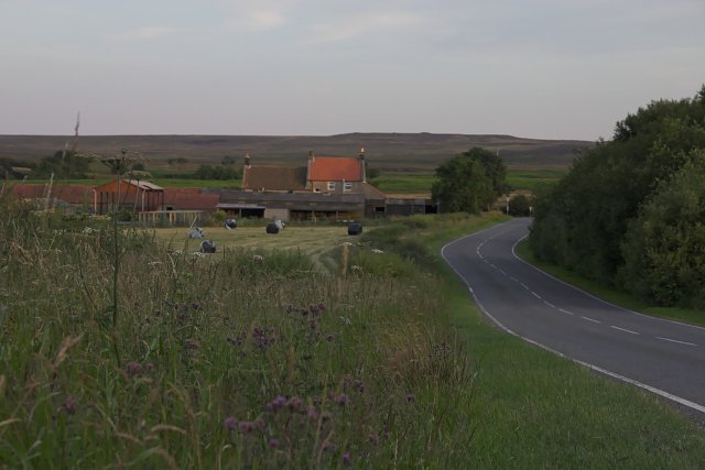
Image: © Colin Grice Taken: 16 Jul 2006
Not sure of the name of this at the moment, taken from the Grinkle road North of A171. On the map it is shown as 'Waupley New Inn'.
Images are licensed for reuse under creativecommons.org/licenses/by-sa/2.0
Image Location


Leaflet Map data © OpenStreetMap
Latitude
54.504371
Longitude
-0.874188