Derelict farmhouse at Foster Hill Woodland
Introduction
The photograph on this page of Derelict farmhouse at Foster Hill Woodland by Peter Robinson as part of the Geograph project.
The Geograph project started in 2005 with the aim of publishing, organising and preserving representative images for every square kilometre of Great Britain, Ireland and the Isle of Man.

There are currently over 7.5m images from over 14,400 individuals and you can help contribute to the project by visiting https://www.geograph.org.uk
Derelict farmhouse at Foster Hill Woodland
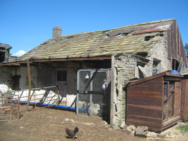
Image: © Peter Robinson Taken: 22 Aug 2010
Now surrounded by kennels, shelters and storage buildings
Images are licensed for reuse under creativecommons.org/licenses/by-sa/2.0
Image Location
Latitude
54.627833
Longitude
-1.897429