House Meadow (2)
Introduction
The photograph on this page of House Meadow (2) by Simon Carey as part of the Geograph project.
The Geograph project started in 2005 with the aim of publishing, organising and preserving representative images for every square kilometre of Great Britain, Ireland and the Isle of Man.

There are currently over 7.5m images from over 14,400 individuals and you can help contribute to the project by visiting https://www.geograph.org.uk
House Meadow (2)
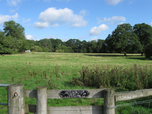
Image: © Simon Carey Taken: 24 Aug 2010
The name of the field according to the 1840 tithe map that was turned into parkland for the Woldringfold estate in the late 19th century but has since reverted back to agricultural use. This section lies between the drive to Sparrow Hall and the north western boundary of the parish of Cowfold.
Images are licensed for reuse under creativecommons.org/licenses/by-sa/2.0
Image Location
Latitude
51.010131
Longitude
-0.276317