Part of Caersws
Introduction
The photograph on this page of Part of Caersws by Jeremy Bolwell as part of the Geograph project.
The Geograph project started in 2005 with the aim of publishing, organising and preserving representative images for every square kilometre of Great Britain, Ireland and the Isle of Man.

There are currently over 7.5m images from over 14,400 individuals and you can help contribute to the project by visiting https://www.geograph.org.uk
Part of Caersws
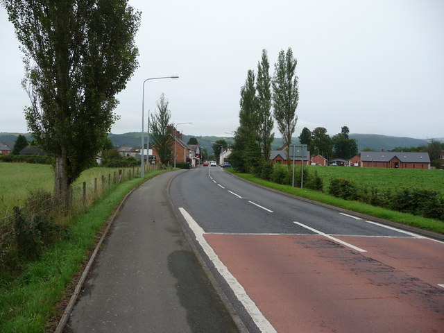
Image: © Jeremy Bolwell Taken: 25 Aug 2010
The A470 road runs through Caersws here. But the main town is set either side of this trunk road and I was struck by what a genuinely friendly community this small town seems to have ; I saw several people greeting each other warmly and immediately indulging in conversations that lasted many minutes, there were no deserted streets or that dormer-town feel that you get in all too many places during the day.
Images are licensed for reuse under creativecommons.org/licenses/by-sa/2.0
Image Location
Latitude
52.516597
Longitude
-3.43045