Disused wharf, Thames Path
Introduction
The photograph on this page of Disused wharf, Thames Path by Chris Denny as part of the Geograph project.
The Geograph project started in 2005 with the aim of publishing, organising and preserving representative images for every square kilometre of Great Britain, Ireland and the Isle of Man.

There are currently over 7.5m images from over 14,400 individuals and you can help contribute to the project by visiting https://www.geograph.org.uk
Disused wharf, Thames Path
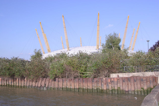
Image: © Chris Denny Taken: 16 Aug 2010
This section of the Thames Path is an obstacle course, winding in and out of derelict wharves, temporary fences and permanent blockages. It doesn't even provide a good view of the Dome! Despite all this it is nevertheless a rewarding walk, with the promise of a pleasant riverside pub at the Greenwich End.
Images are licensed for reuse under creativecommons.org/licenses/by-sa/2.0
Image Location
Latitude
51.501004
Longitude
-0.001827