Bench mark on Hindringham St Martin's church
Introduction
The photograph on this page of Bench mark on Hindringham St Martin's church by Adrian S Pye as part of the Geograph project.
The Geograph project started in 2005 with the aim of publishing, organising and preserving representative images for every square kilometre of Great Britain, Ireland and the Isle of Man.

There are currently over 7.5m images from over 14,400 individuals and you can help contribute to the project by visiting https://www.geograph.org.uk
Bench mark on Hindringham St Martin's church
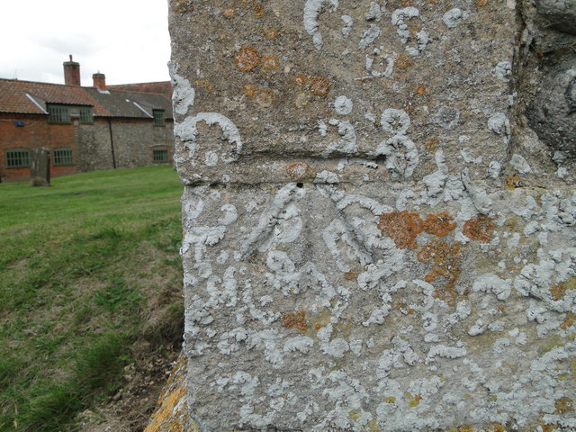
Image: © Adrian S Pye Taken: 24 Aug 2010
The cut mark is on the south-east buttress of the chancel. It is about 65cms above ground level facing north-east. For more information on this and other bench marks visit the bench mark database > http://www.bench-marks.org.uk/bm35298. For a view of the church, click this link > http://www.geograph.org.uk/photo/2031409
Images are licensed for reuse under creativecommons.org/licenses/by-sa/2.0
Image Location
Latitude
52.888485
Longitude
0.948192