New Housing In Abergavenny
Introduction
The photograph on this page of New Housing In Abergavenny by Geoff Pick as part of the Geograph project.
The Geograph project started in 2005 with the aim of publishing, organising and preserving representative images for every square kilometre of Great Britain, Ireland and the Isle of Man.

There are currently over 7.5m images from over 14,400 individuals and you can help contribute to the project by visiting https://www.geograph.org.uk
New Housing In Abergavenny
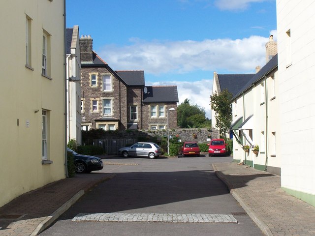
Image: © Geoff Pick Taken: 7 Aug 2010
This cul-de-sac leads of Lower Monk Street. It doesn't appear to have a specific name, but is made up of Osborne House and Osborne Close.
Images are licensed for reuse under creativecommons.org/licenses/by-sa/2.0
Image Location
Latitude
51.822397
Longitude
-3.014998