Cowfold Recreation Ground
Introduction
The photograph on this page of Cowfold Recreation Ground by Simon Carey as part of the Geograph project.
The Geograph project started in 2005 with the aim of publishing, organising and preserving representative images for every square kilometre of Great Britain, Ireland and the Isle of Man.

There are currently over 7.5m images from over 14,400 individuals and you can help contribute to the project by visiting https://www.geograph.org.uk
Cowfold Recreation Ground
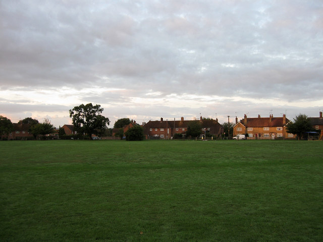
Image: © Simon Carey Taken: 24 Aug 2010
Looking southwards just after sunrise towards the houses on Bolney Road, the A272. According to the tithe map of 1840 this was a field called Mercers Mead which by 1912 was being used as a firing range and was given in trust to the village along with another field to the north called Thistle Field to form the current recreation ground which is home to the village's football, cricket and stoolball teams amongst others.
Images are licensed for reuse under creativecommons.org/licenses/by-sa/2.0
Image Location
Latitude
50.989357
Longitude
-0.270247