Westfield Pill
Introduction
The photograph on this page of Westfield Pill by Stephen McKay as part of the Geograph project.
The Geograph project started in 2005 with the aim of publishing, organising and preserving representative images for every square kilometre of Great Britain, Ireland and the Isle of Man.

There are currently over 7.5m images from over 14,400 individuals and you can help contribute to the project by visiting https://www.geograph.org.uk
Westfield Pill
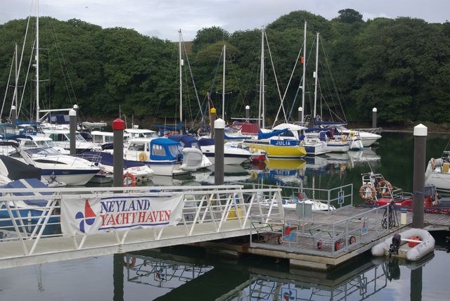
Image: © Stephen McKay Taken: 21 Aug 2010
This creek of the Cleddau Estuary is occupied by Neyland Yacht Haven offering 420 sheltered berths.
Images are licensed for reuse under creativecommons.org/licenses/by-sa/2.0
Image Location


Leaflet Map data © OpenStreetMap
Latitude
51.71072
Longitude
-4.942033