Beneath Pomona station
Introduction
The photograph on this page of Beneath Pomona station by Derek Harper as part of the Geograph project.
The Geograph project started in 2005 with the aim of publishing, organising and preserving representative images for every square kilometre of Great Britain, Ireland and the Isle of Man.

There are currently over 7.5m images from over 14,400 individuals and you can help contribute to the project by visiting https://www.geograph.org.uk
Beneath Pomona station
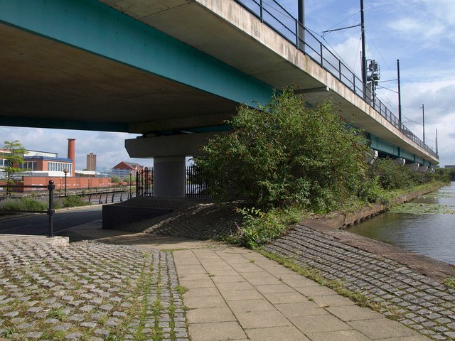
Image: © Derek Harper Taken: 19 Aug 2010
The towpath along the north side of the Bridgewater Canal (right) drops beneath the Metro line as it crosses the Manchester Ship Canal, glimpsed on the left, and joins Pomona Strand.
Images are licensed for reuse under creativecommons.org/licenses/by-sa/2.0
Image Location
Latitude
53.464826
Longitude
-2.278922