Cowbridge, Hertford
Introduction
The photograph on this page of Cowbridge, Hertford by Rob Candlish as part of the Geograph project.
The Geograph project started in 2005 with the aim of publishing, organising and preserving representative images for every square kilometre of Great Britain, Ireland and the Isle of Man.

There are currently over 7.5m images from over 14,400 individuals and you can help contribute to the project by visiting https://www.geograph.org.uk
Cowbridge, Hertford
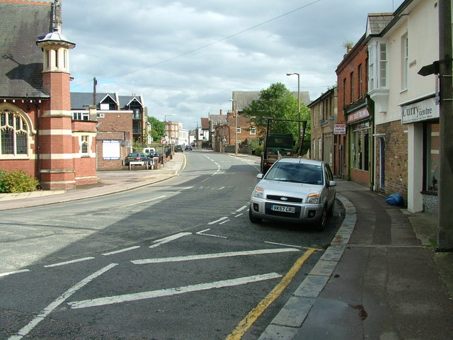
Image: © Rob Candlish Taken: 23 Aug 2010
Cowbridge seen from the bottom of Port Hill. Chambers Street is on the left and the white building on the left in the background is part of McMullen's brewery.
Images are licensed for reuse under creativecommons.org/licenses/by-sa/2.0
Image Location
Latitude
51.798745
Longitude
-0.082816