Jardine Crescent, Tile Hill
Introduction
The photograph on this page of Jardine Crescent, Tile Hill by E Gammie as part of the Geograph project.
The Geograph project started in 2005 with the aim of publishing, organising and preserving representative images for every square kilometre of Great Britain, Ireland and the Isle of Man.

There are currently over 7.5m images from over 14,400 individuals and you can help contribute to the project by visiting https://www.geograph.org.uk
Jardine Crescent, Tile Hill
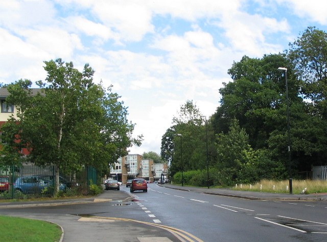
Image: © E Gammie Taken: 23 Aug 2010
Tile Hill estate was a corporation estate built in the 1950s on the principle of a neighbourhood unit in that it should incorporate housing with facilities such as community centre, shops, primary school, public houses and churches. Unlike estates built previously it was built with a mix of housing stock to provide for a variety of family sizes, young and old. People were moved here from several different parts of the city. The existing small woodland areas were retained and one of these, Limbrick Wood, can be seen on the right standing opposite the local shopping parade. Jardine Crescent was named after Dan Jardine, a site foreman who worked on the development. Interestingly, 1:10,560 OS maps published in 1955 show the road named as Humphrey Wanley Crescent but the official street map of Coventry published by the city of Coventry in December 1954 shows it named as Jardine Crescent. 'Humfrey' Wanley was a 17th century Coventrian who, through personal study of ancient documents and handwriting, moved on from being an apprentice draper to work with the Bodleian Library, Oxford.
Images are licensed for reuse under creativecommons.org/licenses/by-sa/2.0
Image Location
Latitude
52.406274
Longitude
-1.578078