Road to St Briavels from Oakhill Wood
Introduction
The photograph on this page of Road to St Briavels from Oakhill Wood by Roy Parkhouse as part of the Geograph project.
The Geograph project started in 2005 with the aim of publishing, organising and preserving representative images for every square kilometre of Great Britain, Ireland and the Isle of Man.

There are currently over 7.5m images from over 14,400 individuals and you can help contribute to the project by visiting https://www.geograph.org.uk
Road to St Briavels from Oakhill Wood
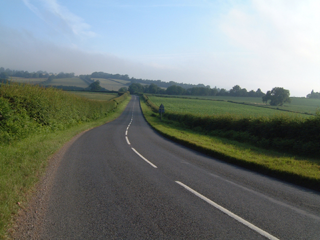
Image: © Roy Parkhouse Taken: 15 Jul 2006
This is the view along the B4228 from the edge of Oakhill Wood, looking north. Cowshill Farm to the left, Poolfield Court Farm to the right.
Images are licensed for reuse under creativecommons.org/licenses/by-sa/2.0
Image Location


Leaflet Map data © OpenStreetMap
Latitude
51.705135
Longitude
-2.632347