Wheat field by Oxenrig
Introduction
The photograph on this page of Wheat field by Oxenrig by Richard Webb as part of the Geograph project.
The Geograph project started in 2005 with the aim of publishing, organising and preserving representative images for every square kilometre of Great Britain, Ireland and the Isle of Man.

There are currently over 7.5m images from over 14,400 individuals and you can help contribute to the project by visiting https://www.geograph.org.uk
Wheat field by Oxenrig
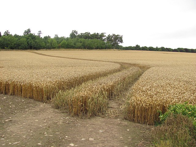
Image: © Richard Webb Taken: 23 Aug 2010
The woodland in the background is near the name "Cuthbert's Folly" on the map. No sign of any weird buildings from the road, or in aerial photographs.
Images are licensed for reuse under creativecommons.org/licenses/by-sa/2.0
Image Location
Latitude
55.670288
Longitude
-2.23511