Junction of St. Kenelm's Road with Dark Lane
Introduction
The photograph on this page of Junction of St. Kenelm's Road with Dark Lane by P L Chadwick as part of the Geograph project.
The Geograph project started in 2005 with the aim of publishing, organising and preserving representative images for every square kilometre of Great Britain, Ireland and the Isle of Man.

There are currently over 7.5m images from over 14,400 individuals and you can help contribute to the project by visiting https://www.geograph.org.uk
Junction of St. Kenelm's Road with Dark Lane
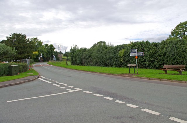
Image: © P L Chadwick Taken: 22 Aug 2010
Dark Lane is coming in on the left. Most of the built-up area of the village of Romsley is contained within a triangle, formed by these two roads and Bromsgrover Road (the B4551).
Images are licensed for reuse under creativecommons.org/licenses/by-sa/2.0
Image Location
Latitude
52.416807
Longitude
-2.065237