Durham Farm, Wendover Dean
Introduction
The photograph on this page of Durham Farm, Wendover Dean by Simon Mortimer as part of the Geograph project.
The Geograph project started in 2005 with the aim of publishing, organising and preserving representative images for every square kilometre of Great Britain, Ireland and the Isle of Man.

There are currently over 7.5m images from over 14,400 individuals and you can help contribute to the project by visiting https://www.geograph.org.uk
Durham Farm, Wendover Dean
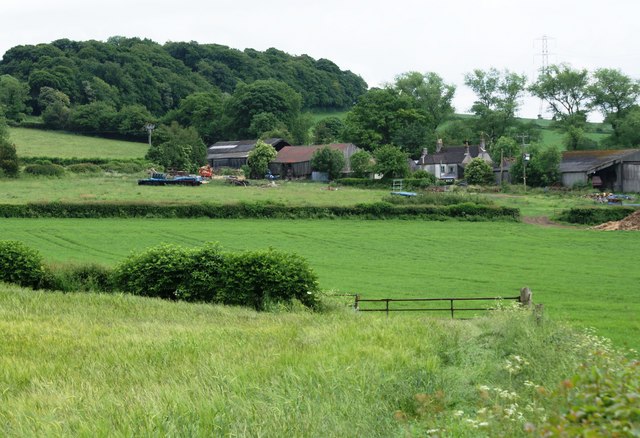
Image: © Simon Mortimer Taken: 8 Jun 2010
Looking south east from the footpath to Kingsash. Jones' Hill Wood is visible on the brow of the hill in the background. The farm is on the course of the proposed route for the new high speed railway from London to Birmingham and could be demolished to make way for a 500m viaduct.
Images are licensed for reuse under creativecommons.org/licenses/by-sa/2.0
Image Location
Latitude
51.733861
Longitude
-0.720441