St Margaret's church in Hapton - benchmark
Introduction
The photograph on this page of St Margaret's church in Hapton - benchmark by Evelyn Simak as part of the Geograph project.
The Geograph project started in 2005 with the aim of publishing, organising and preserving representative images for every square kilometre of Great Britain, Ireland and the Isle of Man.

There are currently over 7.5m images from over 14,400 individuals and you can help contribute to the project by visiting https://www.geograph.org.uk
St Margaret's church in Hapton - benchmark
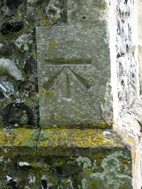
Image: © Evelyn Simak Taken: 22 Aug 2010
This cut mark can be found on the north-west corner of the tower of St Margaret's church > http://www.geograph.org.uk/photo/1385198. It is listed in the Bench Mark Database: https://mail.google.com/mail/?ui=2&view=bsp&ver=ohhl4rw8mbn4.
Images are licensed for reuse under creativecommons.org/licenses/by-sa/2.0
Image Location
Latitude
52.523962
Longitude
1.206754