Pound Lane, Poole
Introduction
The photograph on this page of Pound Lane, Poole by Stuart Shepherd as part of the Geograph project.
The Geograph project started in 2005 with the aim of publishing, organising and preserving representative images for every square kilometre of Great Britain, Ireland and the Isle of Man.

There are currently over 7.5m images from over 14,400 individuals and you can help contribute to the project by visiting https://www.geograph.org.uk
Pound Lane, Poole
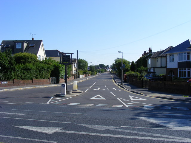
Image: © Stuart Shepherd Taken: 16 Aug 2010
The sign reads: "This was used for the impounding of straying cattle controlled by haywards appointed by the annual court leet of the manor of Canford".
Images are licensed for reuse under creativecommons.org/licenses/by-sa/2.0
Image Location
Latitude
50.728426
Longitude
-1.97317