Old playing fields
Introduction
The photograph on this page of Old playing fields by Paddy Griffin as part of the Geograph project.
The Geograph project started in 2005 with the aim of publishing, organising and preserving representative images for every square kilometre of Great Britain, Ireland and the Isle of Man.

There are currently over 7.5m images from over 14,400 individuals and you can help contribute to the project by visiting https://www.geograph.org.uk
Old playing fields
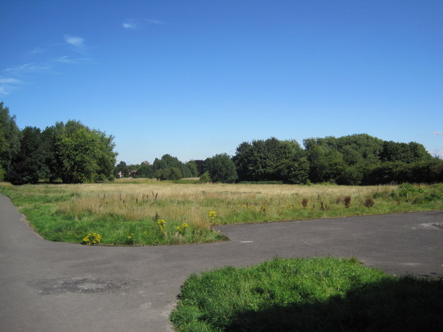
Image: © Paddy Griffin Taken: 16 Aug 2010
At the end of Rye Bank Road are these old playing fields. They area fairly overgrown and well used by dog walkers. In the past few years there were plans to build on this area, however they were overturned by a local protest group.
Images are licensed for reuse under creativecommons.org/licenses/by-sa/2.0
Image Location
Latitude
53.446922
Longitude
-2.286333