Road to Shutford
Introduction
The photograph on this page of Road to Shutford by Michael Patterson as part of the Geograph project.
The Geograph project started in 2005 with the aim of publishing, organising and preserving representative images for every square kilometre of Great Britain, Ireland and the Isle of Man.

There are currently over 7.5m images from over 14,400 individuals and you can help contribute to the project by visiting https://www.geograph.org.uk
Road to Shutford
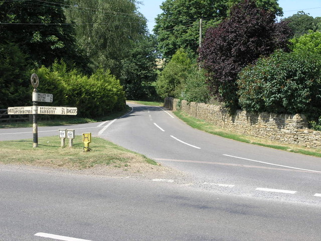
Image: © Michael Patterson Taken: 12 Jul 2006
This junction off the B4035 crosses over a small brook before the bend to the left on its way to Shutford. The road sign has to be circa 1950s?
Images are licensed for reuse under creativecommons.org/licenses/by-sa/2.0
Image Location
Latitude
52.031744
Longitude
-1.412522