Start of bridleway
Introduction
The photograph on this page of Start of bridleway by Michael Dibb as part of the Geograph project.
The Geograph project started in 2005 with the aim of publishing, organising and preserving representative images for every square kilometre of Great Britain, Ireland and the Isle of Man.

There are currently over 7.5m images from over 14,400 individuals and you can help contribute to the project by visiting https://www.geograph.org.uk
Start of bridleway
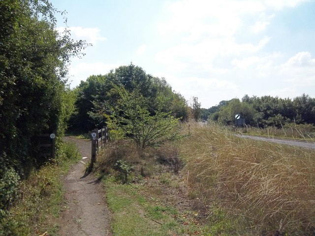
Image: © Michael Dibb Taken: 16 Aug 2010
The A3400 has been realigned here, reducing the sharpness of the bend. The bridleway runs along the old road to the left and heads to Willington.
Images are licensed for reuse under creativecommons.org/licenses/by-sa/2.0
Image Location


Leaflet Map data © OpenStreetMap
Latitude
52.052916
Longitude
-1.620642