Lower Nazeing: The Crooked Billet
Introduction
The photograph on this page of Lower Nazeing: The Crooked Billet by Nigel Cox as part of the Geograph project.
The Geograph project started in 2005 with the aim of publishing, organising and preserving representative images for every square kilometre of Great Britain, Ireland and the Isle of Man.

There are currently over 7.5m images from over 14,400 individuals and you can help contribute to the project by visiting https://www.geograph.org.uk
Lower Nazeing: The Crooked Billet
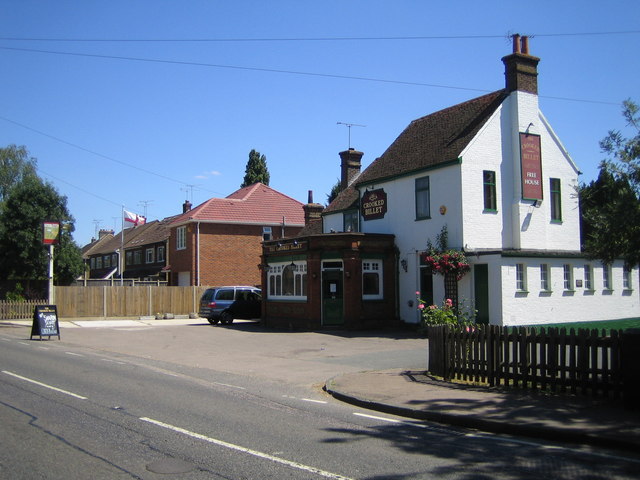
Image: © Nigel Cox Taken: 14 Jul 2006
On the south side of Middle Street, this pub is one of the very few buildings shown on the 1883 Ordnance Survey map in "Nazeingbury", as the settlement was then known as, and it was shown as the Crooked Billet then.
Images are licensed for reuse under creativecommons.org/licenses/by-sa/2.0
Image Location
Latitude
51.735407
Longitude
0.015882