Cottenham Park Road
Introduction
The photograph on this page of Cottenham Park Road by Bill Boaden as part of the Geograph project.
The Geograph project started in 2005 with the aim of publishing, organising and preserving representative images for every square kilometre of Great Britain, Ireland and the Isle of Man.

There are currently over 7.5m images from over 14,400 individuals and you can help contribute to the project by visiting https://www.geograph.org.uk
Cottenham Park Road
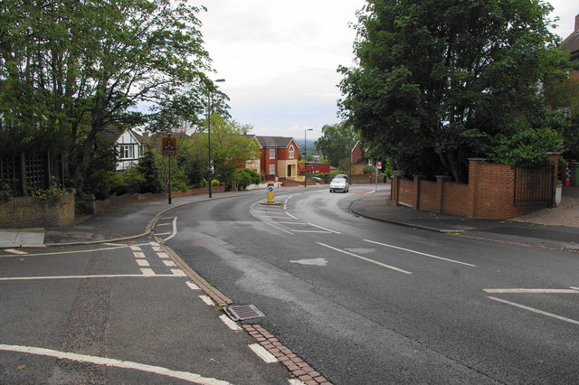
Image: © Bill Boaden Taken: 14 Aug 2010
Hampton Close is the road off to the left. If there were no houses in the way, there would be a view for some miles to the south.
Images are licensed for reuse under creativecommons.org/licenses/by-sa/2.0
Image Location
Latitude
51.416715
Longitude
-0.229428