Footpath towards Scotland Hills
Introduction
The photograph on this page of Footpath towards Scotland Hills by David Anstiss as part of the Geograph project.
The Geograph project started in 2005 with the aim of publishing, organising and preserving representative images for every square kilometre of Great Britain, Ireland and the Isle of Man.

There are currently over 7.5m images from over 14,400 individuals and you can help contribute to the project by visiting https://www.geograph.org.uk
Footpath towards Scotland Hills
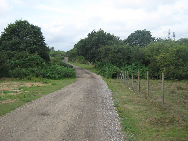
Image: © David Anstiss Taken: 15 Aug 2010
This track leading from Old Park Farm leads towards Chequers Wood. The footpath follows some of it before heading across Canterbury Golf Course towards the hills.
Images are licensed for reuse under creativecommons.org/licenses/by-sa/2.0
Image Location
Latitude
51.283138
Longitude
1.11292