Footpath through rough ground near Howe Barracks
Introduction
The photograph on this page of Footpath through rough ground near Howe Barracks by David Anstiss as part of the Geograph project.
The Geograph project started in 2005 with the aim of publishing, organising and preserving representative images for every square kilometre of Great Britain, Ireland and the Isle of Man.

There are currently over 7.5m images from over 14,400 individuals and you can help contribute to the project by visiting https://www.geograph.org.uk
Footpath through rough ground near Howe Barracks
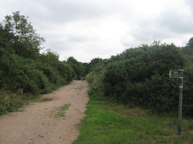
Image: © David Anstiss Taken: 15 Aug 2010
A footpath from Canterbury towards Fordwich, leads through some scrub ground also used as training grounds by the army. The track leads around the ground.
Images are licensed for reuse under creativecommons.org/licenses/by-sa/2.0
Image Location
Latitude
51.282587
Longitude
1.106572