Road from Pentwynmawr to Oakdale unsuitable for HGVs
Introduction
The photograph on this page of Road from Pentwynmawr to Oakdale unsuitable for HGVs by Jaggery as part of the Geograph project.
The Geograph project started in 2005 with the aim of publishing, organising and preserving representative images for every square kilometre of Great Britain, Ireland and the Isle of Man.

There are currently over 7.5m images from over 14,400 individuals and you can help contribute to the project by visiting https://www.geograph.org.uk
Road from Pentwynmawr to Oakdale unsuitable for HGVs
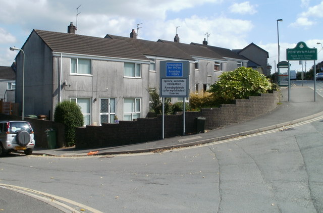
Image: © Jaggery Taken: 16 Aug 2010
A sign at a left turn on the western edge of Pentwynmawr advises HGV (heavy goods vehicle) drivers to ignore satellite navigation. The 2 kilometre country road north to Oakdale is narrow, bendy and steep, ascending more than 100 metres.
Images are licensed for reuse under creativecommons.org/licenses/by-sa/2.0
Image Location
Latitude
51.657841
Longitude
-3.170919