Nine Acres
Introduction
The photograph on this page of Nine Acres by Simon Carey as part of the Geograph project.
The Geograph project started in 2005 with the aim of publishing, organising and preserving representative images for every square kilometre of Great Britain, Ireland and the Isle of Man.

There are currently over 7.5m images from over 14,400 individuals and you can help contribute to the project by visiting https://www.geograph.org.uk
Nine Acres
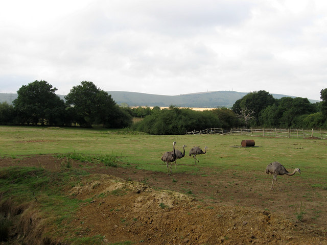
Image: © Simon Carey Taken: 16 Aug 2010
The name of the field according to the 1842 tithe map. The birds are Rheas and a trench has been dug in the foreground to prevent them getting to the fence. Edburton Hill and Truleigh Hill are on the horizon.
Images are licensed for reuse under creativecommons.org/licenses/by-sa/2.0
Image Location
Latitude
50.910735
Longitude
-0.232765