
(Site of) Tumuli
Introduction
The photograph on this page of (Site of) Tumuli by Oxymoron as part of the Geograph project.
The Geograph project started in 2005 with the aim of publishing, organising and preserving representative images for every square kilometre of Great Britain, Ireland and the Isle of Man.

There are currently over 7.5m images from over 14,400 individuals and you can help contribute to the project by visiting https://www.geograph.org.uk
(Site of) Tumuli
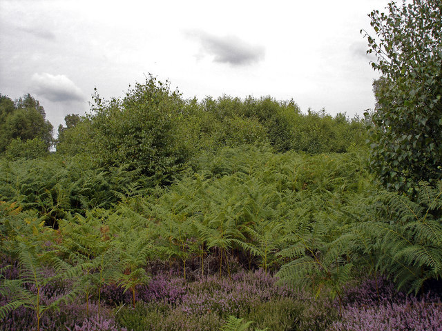
Image: © Oxymoron Taken: 15 Aug 2010
According to Pastscape (follow link below) there are a number of tumuli in this area. My GPS was telling us that one group was situated about 10 metres directly in front of us when we took this picture. The covering of late summer foliage obviously makes it impossible to view the tumuli at this time of year - we will have to return in the winter. See this entry on thetumulussite.com for more details of these ancient monuments: http://www.thetumulussite.com/sm/gazetteer/summary.php?name=80
Images are licensed for reuse under creativecommons.org/licenses/by-sa/2.0
Image Location

Latitude
52.061398
Longitude
1.396457