Disused railway footbridge, High Street, Crosskeys
Introduction
The photograph on this page of Disused railway footbridge, High Street, Crosskeys by Jaggery as part of the Geograph project.
The Geograph project started in 2005 with the aim of publishing, organising and preserving representative images for every square kilometre of Great Britain, Ireland and the Isle of Man.

There are currently over 7.5m images from over 14,400 individuals and you can help contribute to the project by visiting https://www.geograph.org.uk
Disused railway footbridge, High Street, Crosskeys
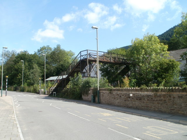
Image: © Jaggery Taken: 16 Aug 2010
A sign on metal railings now blocking the entrance to the footbridge states Bridge closed. Please use level crossing. Level crossing is something of a misnomer - it is actually a track-level wooden bridge. http://www.geograph.org.uk/photo/2262176
Images are licensed for reuse under creativecommons.org/licenses/by-sa/2.0
Image Location
Latitude
51.623192
Longitude
-3.128133