Rail Bridge, south of Whitlocks End
Introduction
The photograph on this page of Rail Bridge, south of Whitlocks End by Michael Westley as part of the Geograph project.
The Geograph project started in 2005 with the aim of publishing, organising and preserving representative images for every square kilometre of Great Britain, Ireland and the Isle of Man.

There are currently over 7.5m images from over 14,400 individuals and you can help contribute to the project by visiting https://www.geograph.org.uk
Rail Bridge, south of Whitlocks End
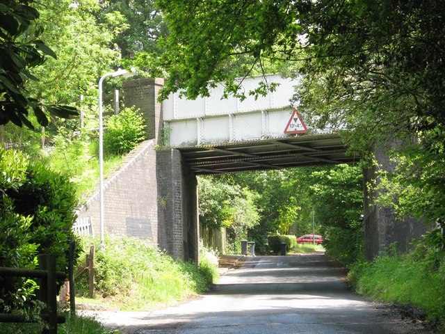
Image: © Michael Westley Taken: 2 Jun 2010
Bridge crossing Houndsfield Lane. The railway line forms the boundary between Bromsgrove / Solihull councils, and between Hereford & Worcs and West Midlands councils.
Images are licensed for reuse under creativecommons.org/licenses/by-sa/2.0
Image Location
Latitude
52.388869
Longitude
-1.855957