South Grove, Rogiet
Introduction
The photograph on this page of South Grove, Rogiet by Jaggery as part of the Geograph project.
The Geograph project started in 2005 with the aim of publishing, organising and preserving representative images for every square kilometre of Great Britain, Ireland and the Isle of Man.

There are currently over 7.5m images from over 14,400 individuals and you can help contribute to the project by visiting https://www.geograph.org.uk
South Grove, Rogiet
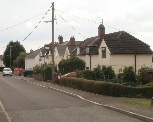
Image: © Jaggery Taken: 14 Aug 2010
Houses on the west side of South Grove, alongside what appears to be a 'hub' telephone pole, judging by the number of lines radiating from it.
Images are licensed for reuse under creativecommons.org/licenses/by-sa/2.0
Image Location
Latitude
51.587353
Longitude
-2.780824