Cheeseman's Trading Estate, Rogiet
Introduction
The photograph on this page of Cheeseman's Trading Estate, Rogiet by Jaggery as part of the Geograph project.
The Geograph project started in 2005 with the aim of publishing, organising and preserving representative images for every square kilometre of Great Britain, Ireland and the Isle of Man.

There are currently over 7.5m images from over 14,400 individuals and you can help contribute to the project by visiting https://www.geograph.org.uk
Cheeseman's Trading Estate, Rogiet
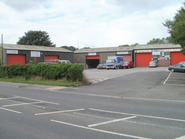
Image: © Jaggery Taken: 14 Aug 2010
The small trading estate is a group of businesses arranged along three sides of a rectangle on the north side of the B4245, near the eastern edge of Rogiet.
Images are licensed for reuse under creativecommons.org/licenses/by-sa/2.0
Image Location
Latitude
51.589189
Longitude
-2.775082