Longdogs Lane, Ottery St Mary
Introduction
The photograph on this page of Longdogs Lane, Ottery St Mary by Derek Harper as part of the Geograph project.
The Geograph project started in 2005 with the aim of publishing, organising and preserving representative images for every square kilometre of Great Britain, Ireland and the Isle of Man.

There are currently over 7.5m images from over 14,400 individuals and you can help contribute to the project by visiting https://www.geograph.org.uk
Longdogs Lane, Ottery St Mary
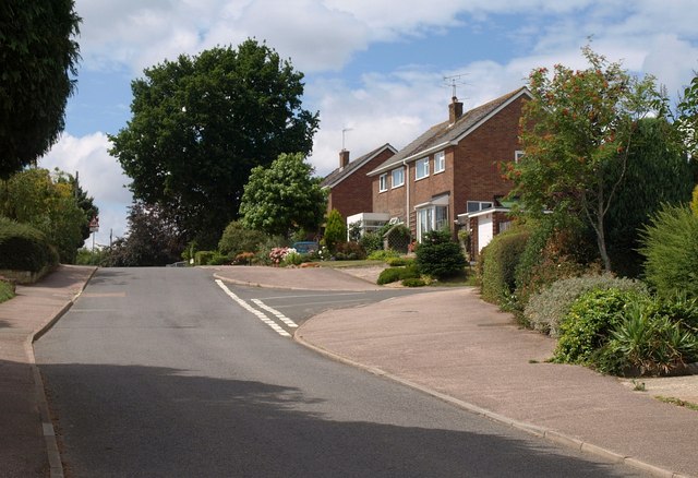
Image: © Derek Harper Taken: 13 Aug 2010
From its junction with Slade Road, Longdogs Lane climbs past a junction with Grandisson Drive before dropping steadily towards the town centre.
Images are licensed for reuse under creativecommons.org/licenses/by-sa/2.0
Image Location
Latitude
50.750295
Longitude
-3.269324