Cottage on Knightstone Lane
Introduction
The photograph on this page of Cottage on Knightstone Lane by Derek Harper as part of the Geograph project.
The Geograph project started in 2005 with the aim of publishing, organising and preserving representative images for every square kilometre of Great Britain, Ireland and the Isle of Man.

There are currently over 7.5m images from over 14,400 individuals and you can help contribute to the project by visiting https://www.geograph.org.uk
Cottage on Knightstone Lane
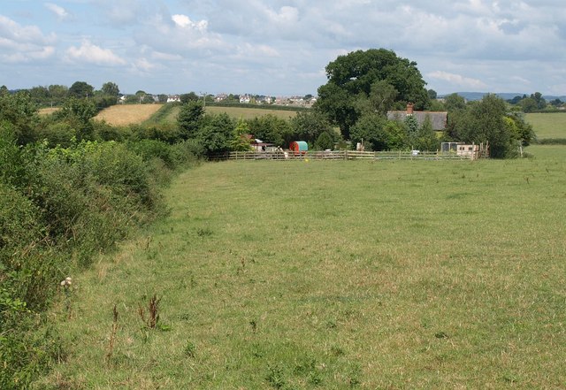
Image: © Derek Harper Taken: 13 Aug 2010
Knightstone Lane, behind the hedge on the left, is a green lane carrying Ottery St Mary Bridleway 36. In the distance are houses on the southeast edge of Ottery St Mary.
Images are licensed for reuse under creativecommons.org/licenses/by-sa/2.0
Image Location


Leaflet Map data © OpenStreetMap
Latitude
50.742298
Longitude
-3.268682