Halfpenny Gate Road at Creenagh
Introduction
The photograph on this page of Halfpenny Gate Road at Creenagh by Dean Molyneaux as part of the Geograph project.
The Geograph project started in 2005 with the aim of publishing, organising and preserving representative images for every square kilometre of Great Britain, Ireland and the Isle of Man.

There are currently over 7.5m images from over 14,400 individuals and you can help contribute to the project by visiting https://www.geograph.org.uk
Halfpenny Gate Road at Creenagh
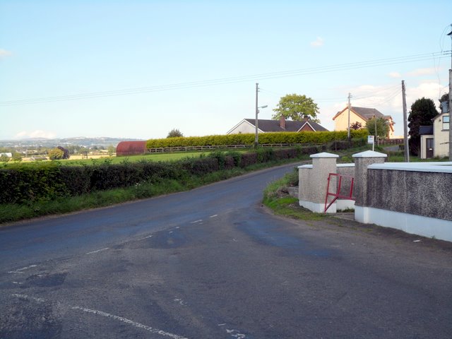
Image: © Dean Molyneaux Taken: 15 Aug 2010
This minor road runs parallel with the A3 Lisburn to Moira road which was constructed in the 1830s - now bypassed by the M1 motorway. Before all that, this was the main route from Belfast to the west of Ulster. The linear settlement of Broomhedge stretches along this road - justifying its designation as a 40mph speed limit. Townland of Creenagh.
Images are licensed for reuse under creativecommons.org/licenses/by-sa/2.0
Image Location
Latitude
54.487334
Longitude
-6.168823