Green lane west of Holcombe Barton
Introduction
The photograph on this page of Green lane west of Holcombe Barton by Derek Harper as part of the Geograph project.
The Geograph project started in 2005 with the aim of publishing, organising and preserving representative images for every square kilometre of Great Britain, Ireland and the Isle of Man.

There are currently over 7.5m images from over 14,400 individuals and you can help contribute to the project by visiting https://www.geograph.org.uk
Green lane west of Holcombe Barton
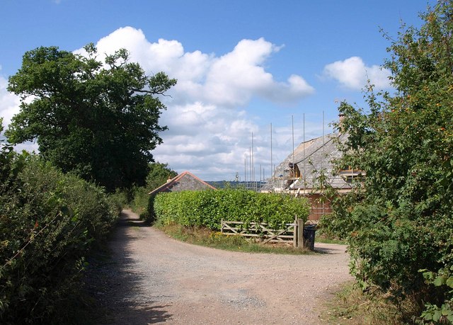
Image: © Derek Harper Taken: 13 Aug 2010
Ottery St Mary Footpath 27 pursues this green lane past building work at Keppel Gate, en route for Higher Ridgeway.
Images are licensed for reuse under creativecommons.org/licenses/by-sa/2.0
Image Location
Latitude
50.757113
Longitude
-3.262561