Dewstow Road, Caldicot
Introduction
The photograph on this page of Dewstow Road, Caldicot by Jaggery as part of the Geograph project.
The Geograph project started in 2005 with the aim of publishing, organising and preserving representative images for every square kilometre of Great Britain, Ireland and the Isle of Man.

There are currently over 7.5m images from over 14,400 individuals and you can help contribute to the project by visiting https://www.geograph.org.uk
Dewstow Road, Caldicot
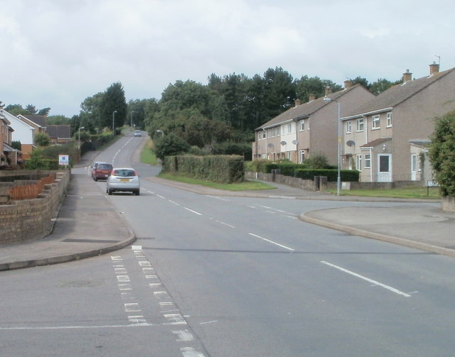
Image: © Jaggery Taken: 14 Aug 2010
On the NW edge of Caldicot, Dewstow Road heads away from the B4245. At lower left is the turning for Fairfield Close; on the right, the turning for Birbeck Road.
Images are licensed for reuse under creativecommons.org/licenses/by-sa/2.0
Image Location
Latitude
51.592842
Longitude
-2.766482