Deans Lane
Introduction
The photograph on this page of Deans Lane by Hugh Craddock as part of the Geograph project.
The Geograph project started in 2005 with the aim of publishing, organising and preserving representative images for every square kilometre of Great Britain, Ireland and the Isle of Man.

There are currently over 7.5m images from over 14,400 individuals and you can help contribute to the project by visiting https://www.geograph.org.uk
Deans Lane
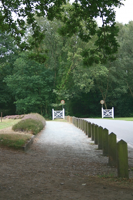
Image: © Hugh Craddock Taken: 6 Aug 2010
Deans Lane on Walton Heath. To the left is hole number 1 of the old course, and to the right, a practice area. Ahead, beyond the 'gates', is the junction with Dorking Road.
Images are licensed for reuse under creativecommons.org/licenses/by-sa/2.0
Image Location
Latitude
51.277072
Longitude
-0.242258