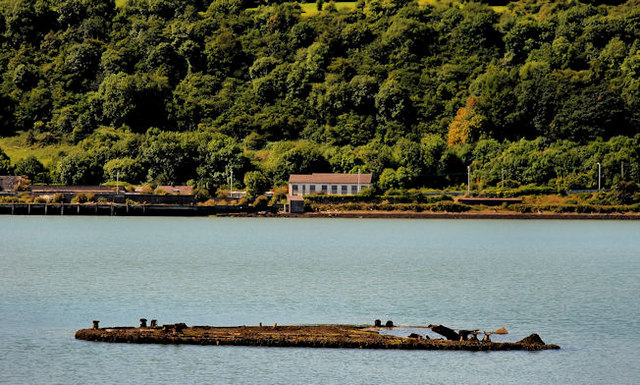
Mulberry harbour, Larne
Introduction
The photograph on this page of Mulberry harbour, Larne by Albert Bridge as part of the Geograph project.
The Geograph project started in 2005 with the aim of publishing, organising and preserving representative images for every square kilometre of Great Britain, Ireland and the Isle of Man.
There are currently over 7.5m images from over 14,400 individuals and you can help contribute to the project by visiting https://www.geograph.org.uk

Image: © Albert Bridge Taken: 14 Aug 2010
After WWII the Atlantic Steam Navigation Company started operating ro-ro ferry service from Larne to Preston using ex-naval LST’s (Landing Ship Tanks). The loading/discharge ramp was partly built from cascaded bits of the mulberry harbours used in the “D day” landings. A visitor to the site has contacted me with the following additional information “I remember very well several of these "Mulberry" pontoons being towed to Larne and used as foundations for extension of the harbour for the increase in shipping. Some were not used and the one you photographed is one of them”. The definitive answer.

