Paternoster Row, Ottery St Mary
Introduction
The photograph on this page of Paternoster Row, Ottery St Mary by Derek Harper as part of the Geograph project.
The Geograph project started in 2005 with the aim of publishing, organising and preserving representative images for every square kilometre of Great Britain, Ireland and the Isle of Man.

There are currently over 7.5m images from over 14,400 individuals and you can help contribute to the project by visiting https://www.geograph.org.uk
Paternoster Row, Ottery St Mary
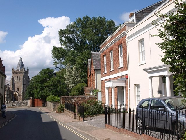
Image: © Derek Harper Taken: 13 Aug 2010
Looking the other way to Image, with the two listed buildings on the immediate right, and the north transept tower of Image on the left.
Images are licensed for reuse under creativecommons.org/licenses/by-sa/2.0
Image Location
Latitude
50.753344
Longitude
-3.278337