Bridleway towards Pallingham
Introduction
The photograph on this page of Bridleway towards Pallingham by Graham Horn as part of the Geograph project.
The Geograph project started in 2005 with the aim of publishing, organising and preserving representative images for every square kilometre of Great Britain, Ireland and the Isle of Man.

There are currently over 7.5m images from over 14,400 individuals and you can help contribute to the project by visiting https://www.geograph.org.uk
Bridleway towards Pallingham
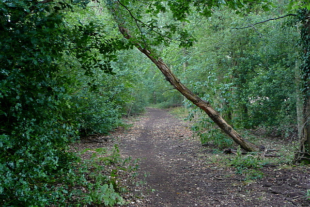
Image: © Graham Horn Taken: 4 Aug 2010
This is the route of the Wey South Path, a footpath that follows as closely as possible the route of the Wey and Arun Canal. Here it takes a major diversion around Pallingham and uses this bridleway through woodland. The rain had stopped but the trees were still dripping buckets of water.
Images are licensed for reuse under creativecommons.org/licenses/by-sa/2.0
Image Location


Leaflet Map data © OpenStreetMap
Latitude
50.992922
Longitude
-0.5306