Northleigh from the northeast
Introduction
The photograph on this page of Northleigh from the northeast by Derek Harper as part of the Geograph project.
The Geograph project started in 2005 with the aim of publishing, organising and preserving representative images for every square kilometre of Great Britain, Ireland and the Isle of Man.

There are currently over 7.5m images from over 14,400 individuals and you can help contribute to the project by visiting https://www.geograph.org.uk
Northleigh from the northeast
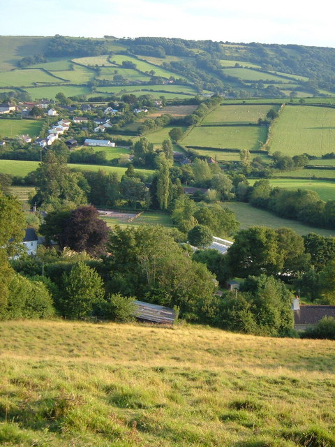
Image: © Derek Harper Taken: 12 Jul 2006
From the top of the lane where a footpath joins it near Northleigh Cross, looking down across the village and the valleys that lead to the River Coly, towards Strap Common.
Images are licensed for reuse under creativecommons.org/licenses/by-sa/2.0
Image Location
Latitude
50.760701
Longitude
-3.141289